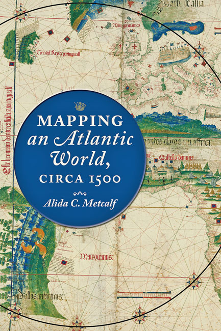
Alida C. Metcalf, Mapping an Atlantic World, circa 1500, Johns Hopkins University Press, 2020. 224pp. incl. notes, 12 color illus., 28 halftones, 6 line drawings, ISBN: 9781421438528, $54.95. Available as a PDF eBook at the same price.
By Dr. Neil Kennedy
 In 1516, on his large new world map the Carta Marina Navigatoria, the cartographer Martin Waldseemüller humbly acknowledged that his own Universalis Cosmographia “was filled with error, wonder and confusion” (quoted p.134), despite being published just nine years earlier. Famously, that prior map was the first chart to name the western landmass America, but what had changed in the interval? In this wonderful book, richly detailed yet concise and clear, Dr. Alida Metcalf examines the rapid accumulation of European knowledge about the Atlantic World during roughly the decade on either side of the year 1500. In meticulous detail Metcalf explains how, by translating mariners’ experiences into conceivable spaces, the Atlantic “was first charted as an ocean and mapped as a world” (p.132).
One of the key contributions Metcalf makes in this book is to draw attention to the mechanical and conceptual processes employed by a handful of highly skilled artisans. By doing so Metcalf centres this foundational moment on the artisans who created the symbolic and conceptual language which rendered the lands and waters described by those early inchoate and sometimes dubious firsthand accounts into inviting and navigable spaces. This importantly decentres the political and religious elites, and the commercial and mercenary interests, usually prominent in globalization creation narratives. Early on she uses the term “go-betweens” for these specialized artisans, but this seems too slender a term for their large role; at any rate, the term does not get developed beyond the introduction. Metcalf pays close attention to the transmission of information from navigator to cartographer, toponyms for instance, and to the transnational networks of patrons who funded the latter’s craft. From an early discussion of the Atlantic as a peripheral space on mappi mundi, through maps such as Juan de la Cosa’s Carta Universal of 1500, Metcalf shows how cartographers developed visual codes to represent the Atlantic and the Americas, rendered from an existing vocabulary of cartographic, Classical, medieval, and commercial symbols. In the case of Brazil, Metcalf identifies the evolution of a code of specific trees, parrots, and the first halting association of cannibalism with indigenous peoples, inscribed in printed maps.
In order to create space for new information about Atlantic islands and the northwest coast of Africa, cartographers had to move the centre of the invisible compass circle which contained the map’s territory, oriented the web of rhumb lines, and marked the surrounding decorative elements. By the late 15th-century, that centrepoint had moved westward from the eastern Mediterranean to a point in West Africa, inland and south from Capo de Gué in the case of the Carta nautica of ca.1471-82. The problem was also solved more mundanely by rotating the rectangular vellum sheet ninety degrees so it’s longer sides were oriented vertically rather than horizontally. Metcalf moves on from this point to emphasize the radical decentring of Europe, but some readers will wonder more specifically about the African component of that process. Perhaps it meant little, but it is worth remembering that the early acceleration of Atlantic ventures began with maps physically and conceptually centred in Africa. Similarly, the association of red parrots with Brazil is linked here to West African green and gray parrots, but some readers may wonder about the cockatoo from the Indo-Malaysian archipelago in Andrea Mantegna’s 1495-6 painting “Madonna della Vittoria”, and earlier examples. Perhaps that parrots became a symbol of Brazil was less about exoticism and instead connected novelty to parallel existing and intelligible associations with Asia as well as Africa.
Of Waldseemüller’s most significant work only one original of the Universalis Cosmographia, a single complete composite of the twelve sheets of the Carta Marina, and no original of his globe, have survived to the present. In an elegant concluding chapter Metcalf considers maps of this period as ephemera, to be updated as new information was acquired, to be used in the maritime conditions that caused their deterioration, and ultimately to be discarded and replaced. She sees this phenomena as an evolution in the use of manuscript charts, rather than a significantly different stage created by print technology, though the latter introduced the abstraction of details in manuscript charts. Metcalf’s analysis of such processes as estimating coastlines from fixed points, is well illustrated through close comparison of a handful of maps, charts, texts, and a notable generosity to other scholars. The small colour plates are for reference only, but those preparing introductory lectures on the Atlantic World will be well served by the maps and discussion on Dr. Metcalf’s excellent supporting website at http://acm5.blogs.rice.edu/.


